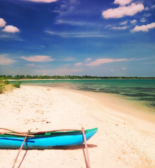
Kayankerny is situated within the dry zone of Sri Lanka, typically receiving between 1000-1500mm of rainfall annually. The northeast monsoon brings rain and strong winds from November to January resulting in high rates of precipitation and rough sea conditions. Sporadic thunderstorms are also experienced during the intermonsoon periods in April and October. The dry season is characterised by the ‘kachan winds’ - the hot dry winds of the southwest monsoon blowing across the island after shedding rains along the western hills and plains from late June to August. Winds are generally moderate, ranging from 7-15km per hour with the evening winds being stronger. However, stronger intensity winds reaching above 30km per hour occur during the peak of the northeast monsoon and during the “kachan” period from late June to August. The mean annual air temperature is 30°C, but can vary between highs of 38°C during the summer months to lows close to 18°C on cooler nights during the rainy seasons. Average sea temperature is 29°C but can range between 26°C to 31°C through the year based on wind and upwelling. The seafloor has a low gradient and shelves gently towards the continental shelf before dropping off sharply.
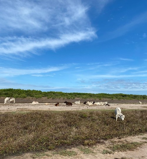
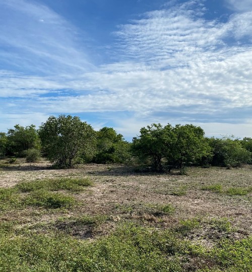
The coastal areas around Kayankerni consist of low lying plains and alluvial flats with an average elevation of 4m above sea level, with no major hills in the area and isolated rock outcrops providing the highest elevation points. Several rivers flow through the area from the Central and Uva Provinces, and Valachchenai estuary is the major ocean discharge of the Maduru Oya basin. Dry zone coastal shrub vegetation is the most prevalent vegetation type in the area. Agriculture is the predominant land use in the area, dominated by seasonal rain rice cultivation and cattle raising for dairy.


